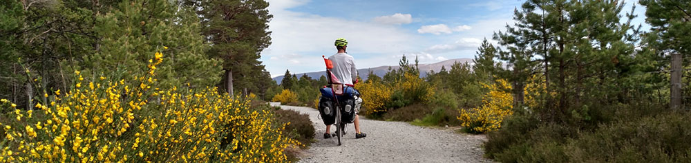
My career and life goals orbit around this creed: to travel is to grow. I endeavor to get outside and explore every day. I have always walked, biked, run, or taken some form of public transportation to move between home, work, and community events, and I want to get as many people as possible to do the same. I am drawn to design thinking to enable and reward people for getting outside. I aspire to understand how people move through spaces and why, and how these choices affect other aspects of their lives. I see potential in the communal spatial data being collected around the world. I use geospatial technology to encourage a culture of travel that is better for the environment and ourselves.
ArcGIS 10.X, ArcGIS Server 10.x, Google Earth, Open source GIS (QGIS, GDAL, OGR)
Python, SQL, HTML5, CSS3, JavaScript, Bootstrap
Mapbox, Google Maps
Adobe Creative Suite
2011 - 2013
Content and Production Manager (July 2012 – May 2013)
Marketing Specialist and Administrative Manager (July 2011 – July 2012)
2011
Youth Community Program Coordinator
2014 – 2016
2015- 5th and 8th Grade History, Science, and English Teacher
2014- 5th and 8th Grade English and History Teacher, After-School Coordinator
2013 – 2014
Grade Four Associate Teacher
2009 - 2010
Tutor and Lab Assistant
2006 – 2007
Teacher’s Assistant, Professor Matthew Landis
2007
Research Assistant, Jack Byrne, Director of Sustainability Integration
2016 - 2017
Professional Master of Science: Geographic Information Systems and Web Map Programming
Courses: Geocomputing, GIS and Spatial Analysis, Graphic Design in Cartography, Spatial Web and Mobile Programming, Spatial Database, Interactive Cartography and Geovisualization
Interests: transportation networks, mobile-navigation, route optimization and heuristics, cycling infrastructure design, user-interface user-experience
2006 - 2010
Bachelor of Arts, Geography and Environmental Studies
Thesis: “After the Private Car: Retrofitting Communities for Bicycles in the 21st Century”
Honors: College Scholar, Magna Cum Laude

If you have questions, projects, or just want to talk bikes or maps, throw me a line:
ibachman.sanders (@gmail.com)